55 counties. One home.
Start with the map. Find your county, your neighbor's county, or a place you've been meaning to visit.
Every county, one screen.
Colors mark the eight regions West Virginians use to talk about home. Hover to preview a county, click to open its civic dashboard.
Hover a county to preview. Click any county to open its civic dashboard.
Find Your CountySearch by name or county seat.
Eight regions, one state.
West Virginians rarely say "the state" when they talk about home — they say the Panhandle, the Coalfields, the Valley. These are the eight regions people actually use.
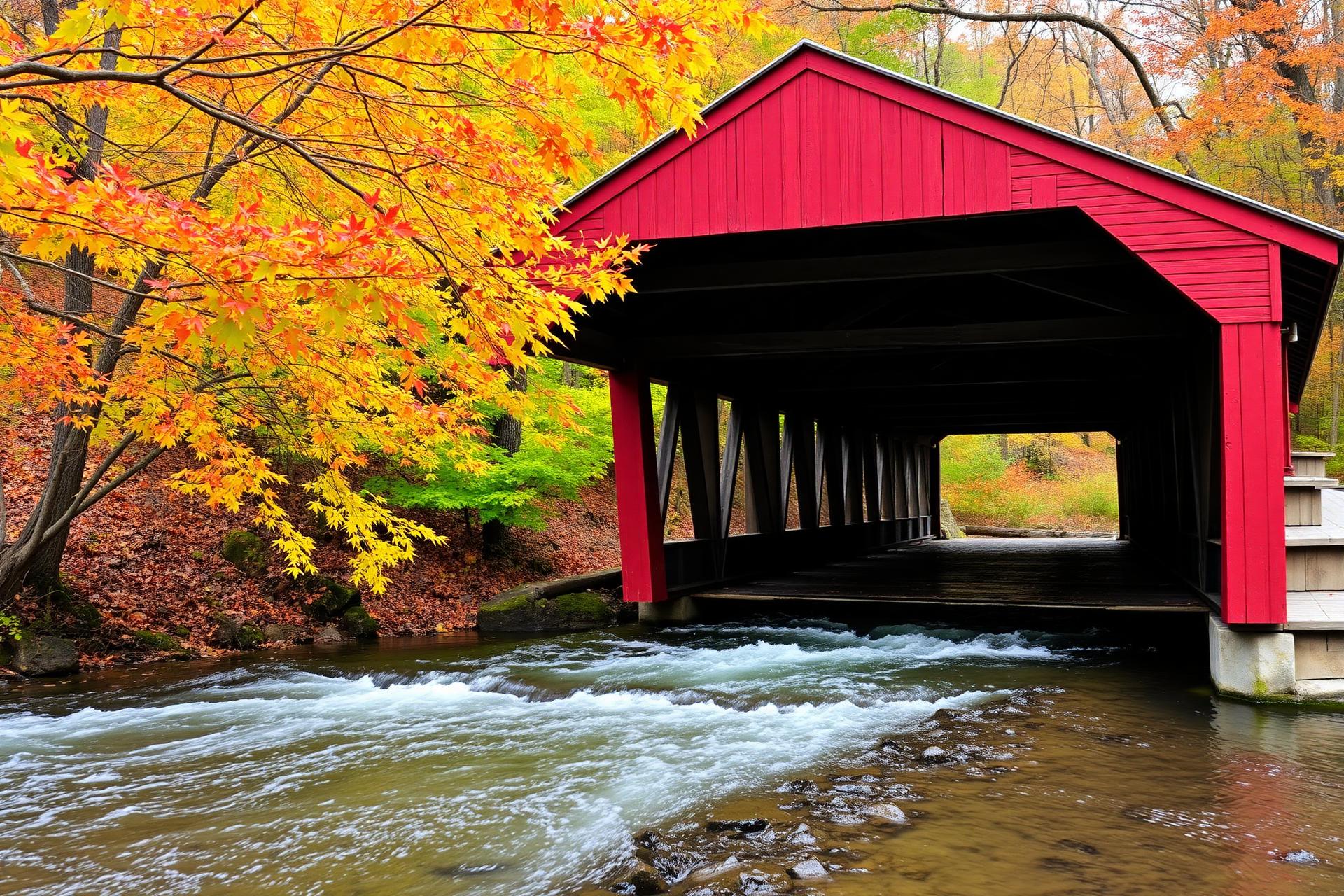
Eastern Panhandle
Where the Shenandoah meets the Potomac and colonial stone streets still climb the hills. The state's oldest civic history, and its fastest-growing counties.
- County seat
- Martinsburg
- Largest town
- Martinsburg
- Population
- 122,076
- County seat
- Charles Town
- Largest town
- Charles Town
- Population
- 59,053
- County seat
- Berkeley Springs
- Largest town
- Berkeley Springs
- Population
- 17,447
Potomac Highlands
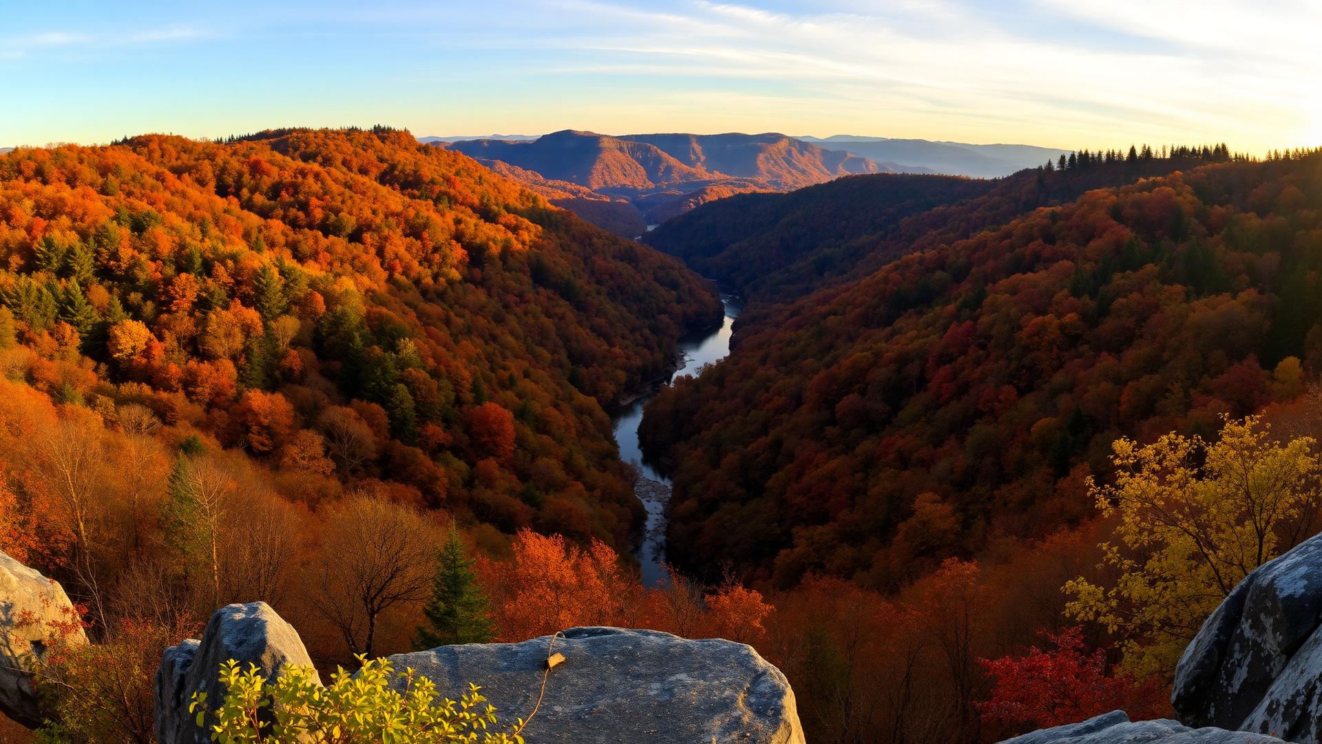
Seneca Rocks, Dolly Sods, and Canaan Valley. Cold nights, quiet skies, and the headwaters of the Potomac reaching back into the mountains.
Northern Panhandle
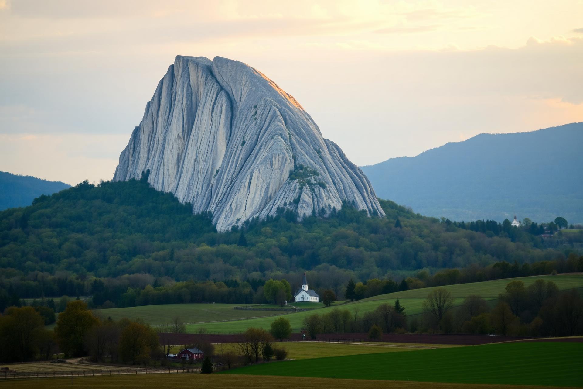
Weirton, Wheeling, Moundsville — the sliver of West Virginia reaching north between Ohio and Pennsylvania. Steelmaking heritage, Ohio River commerce, and the state's northernmost communities.
North Central
College towns and river valleys along the Monongahela and West Fork. Home to WVU in Morgantown, the coal and glass history of Marion and Harrison, and the I-79 corridor.
- County seat
- Morgantown
- Largest town
- Morgantown
- Population
- 105,822
Mid-Ohio Valley
The Ohio and Little Kanawha rivers, small oil-and-gas towns, and Parkersburg's brick downtown. The state's western threshold and its old river commerce.
- County seat
- Point Pleasant
- Largest town
- Point Pleasant
- Population
- 25,453
- County seat
- New Martinsville
- Largest town
- New Martinsville
- Population
- 15,065
Mountain Lakes
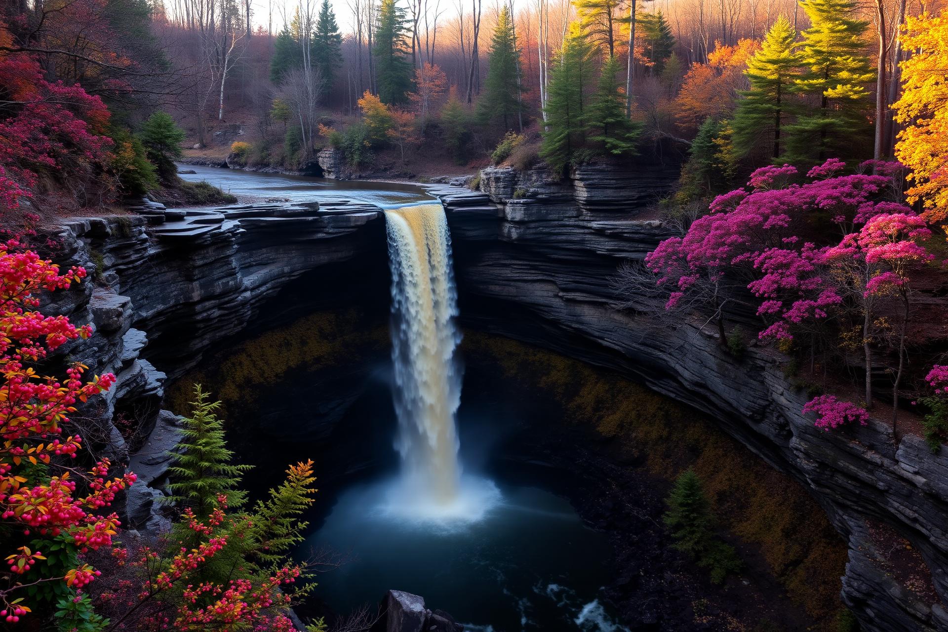
Sutton, Summersville, Burnsville — the reservoirs and river country at the state's geographic center. Deep hardwood forests, quiet lakes, and small county seats.
- County seat
- Summersville
- Largest town
- Summersville
- Population
- 24,604
- County seat
- Webster Springs
- Largest town
- Webster Springs
- Population
- 8,114
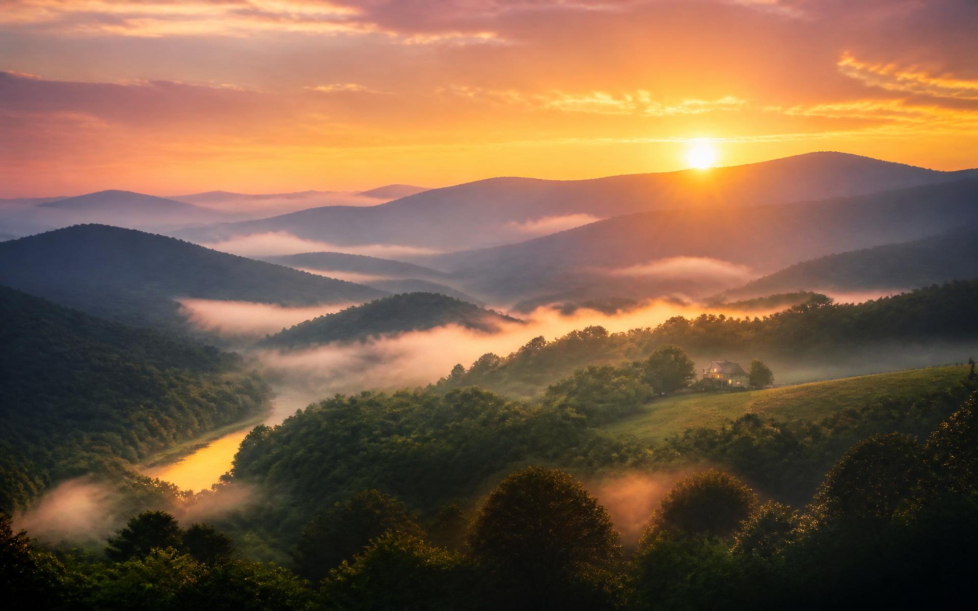
Kanawha Valley
The state capital and the industrial spine of the Kanawha River. Charleston anchors media, healthcare, and government for a working valley of nearly a quarter-million people.
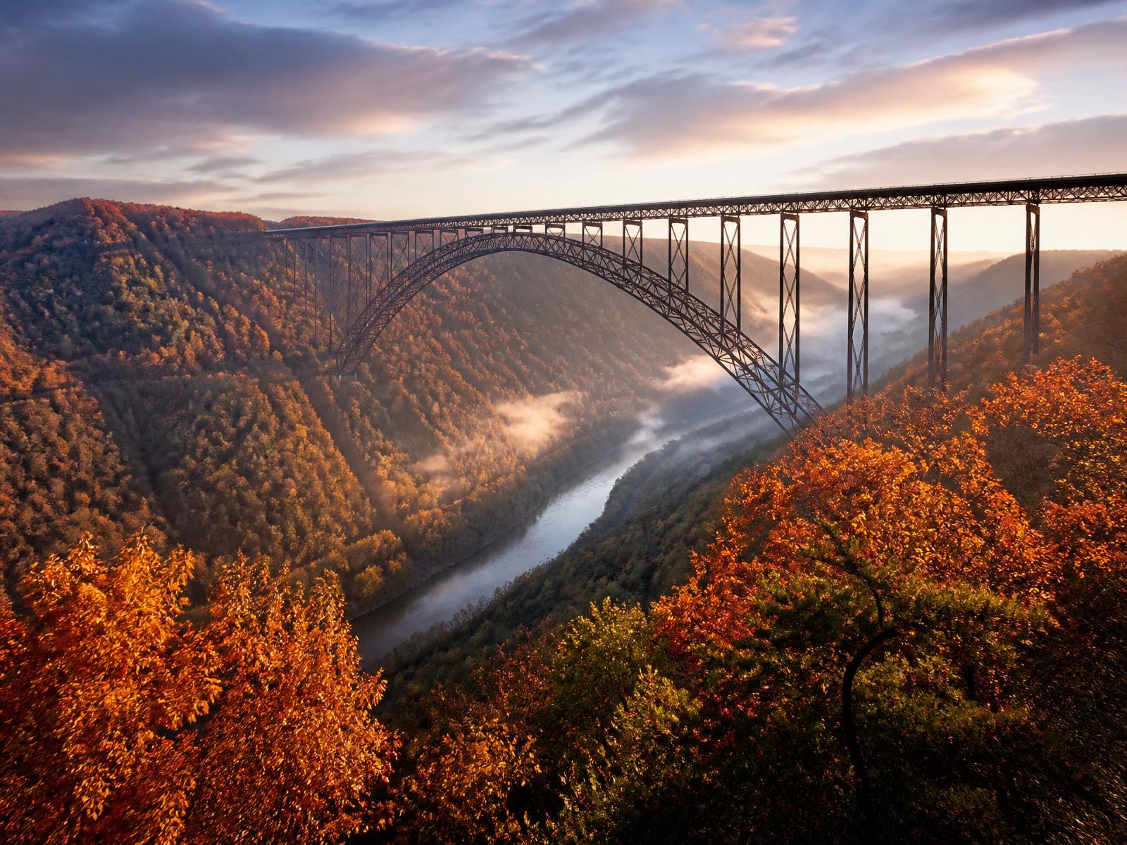
New River – Greenbrier Valley
One of the oldest rivers on Earth, a national park, and the limestone farms of the Greenbrier Valley. Outdoor recreation meets deep Appalachian farming country.
Southern Coalfields
Logan, McDowell, Mingo, Mercer. The heart of the state's coal history — hollows, company towns, and the people rebuilding what comes next.
Know your county well?
Every dashboard is being built with local knowledge — photos, history, elected officials, the projects that matter. If you'd like to help shape the one where you live, we'd like to hear from you.
Contribute to your county